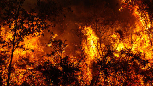
Utah Releases Map Highlighting High-Risk Wildfire Areas
(Salt Lake City, UT) — The Utah Division of Forestry, Fire and State Lands has released a digital map showing areas at high risk for wildfires. A law, passed earlier this year, aims to help mitigate fires in Wildland Urban Interface areas, where proximity to homes and infrastructure increases the […]